Early Sunday morning, I went along the next Vladikavkaz route with the club “Your Height” to the rhododendron flowering in the Tsmiakom gorge, in the area of the Zaramag reservoir.
Our route ran from the village of Cmi to the village of Toborza and further, to the ridge, from where a beautiful view of the surrounding area opens – the Zaramag reservoir and gorges of the same name with it, for example, Mamison, Nara basin, as well as mountains – Adaykhoh, Tepli and others.
The trip started at 8 a.m., which made me happy, because in life I used to wake up much later. There were 28 people plus 2 guides (Kazbek and Emma), and two gazelles.
If a seat in a minibus is important to you, then I advise you to arrive 20 minutes before the departure time, then the probability of sitting where you want will be much higher.
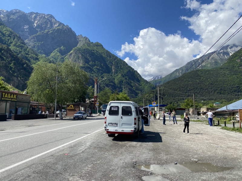
stop at the shops on the way
The journey with one stop at the shops took about 2 hours and 20 minutes. GAZelles brought us to the shore of the Zamarak reservoir and dropped us off under the bridge,
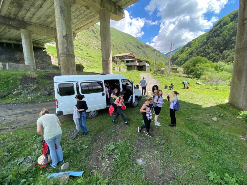
we disembark from the Gazelle
where we received a short briefing, got acquainted with the guides, and went.
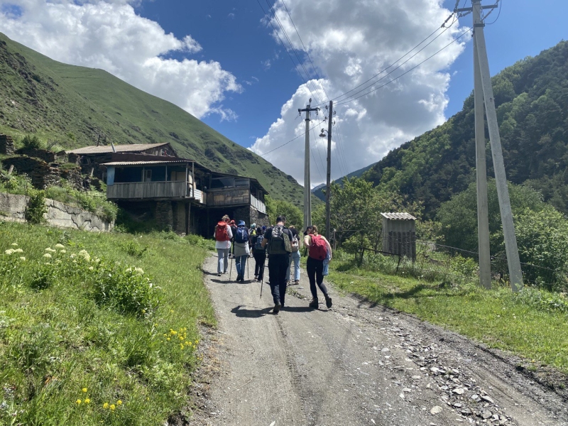
the beginning of our route
Literally from the first minutes of the hike, a picturesque landscape appeared to my eyes – bald green mountains, occasionally overgrown with trees and a noisy mountain river, refreshing our route on this hot day.
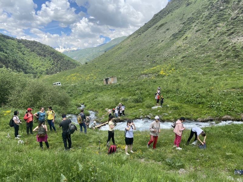
mountain river on our way
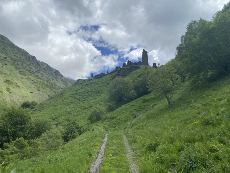
old abandoned towers
Along the way, we met old abandoned towers, while part of the group went up to take morning photos. However, there are a lot of nettles here.:-)
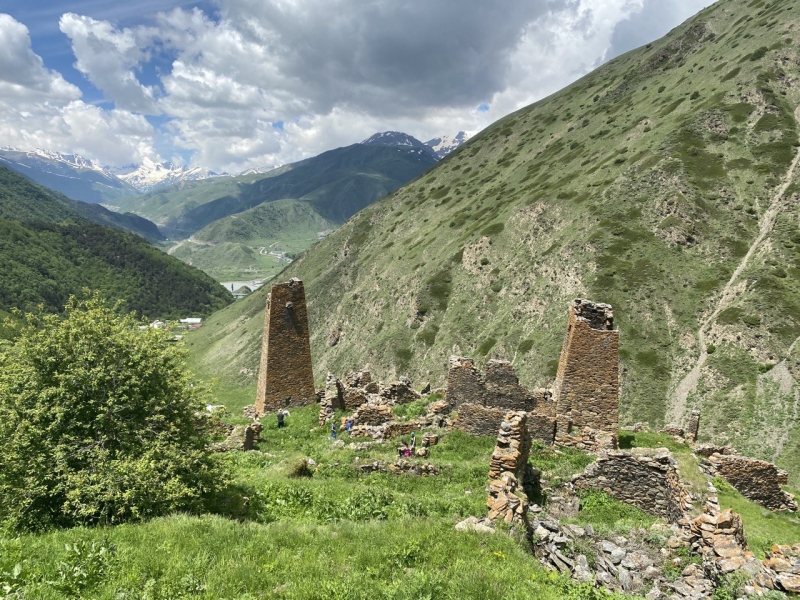
walk by the towers
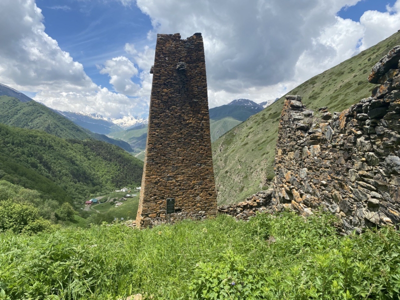
tower
Our tour group stretched for about half a kilometer. Kazbek was at the beginning of the group, and Emma was behind her. At first, I trailed behind, having met Emma and Madina, thinking that I would take my time and just take a measured walk in pleasant company. But then it dawned on me that if I trailed in the tail, then there would be people on all my photos, because our group is large, and I’m unlikely to be able to capture landscapes without their participation, so I decided to take a place at the beginning of the group next to the guide Kazbek.
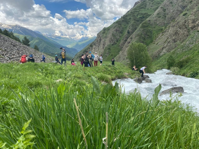
relaxing by the river
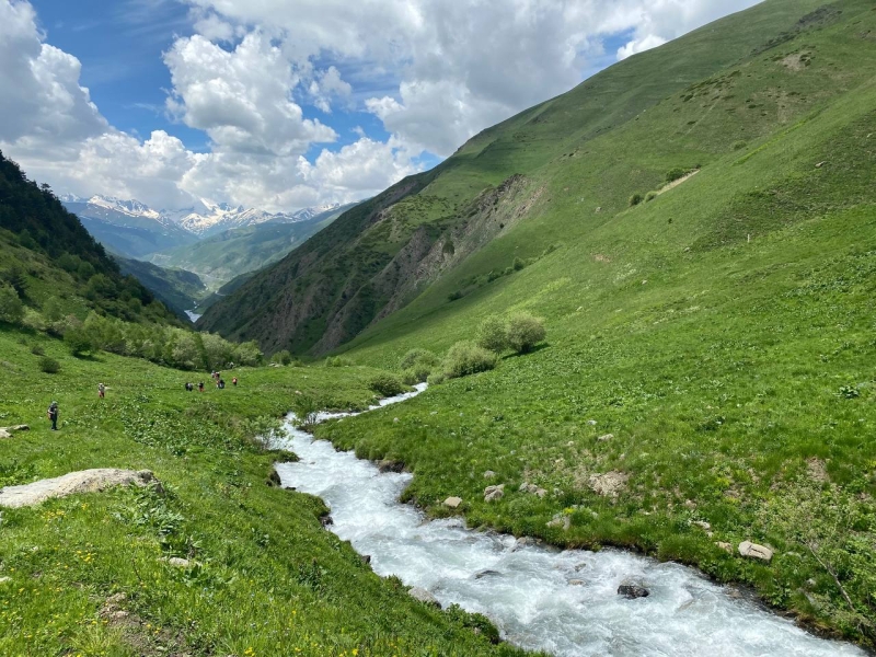
a clear mountain river stretches along the entire path
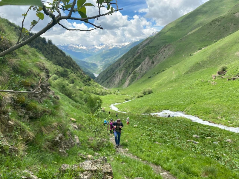
group stretched for half a kilometer
As a result, I went first for the rest of the route, which by the way was very convenient: firstly, I could take photos of natural landscapes without people, and secondly, I had more time to rest.Be careful, in this area there is a hogweed, from contact with which you can get severe burns, especially in sunny weather.
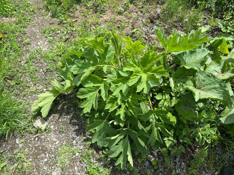
there was a dangerous hogweed along the way
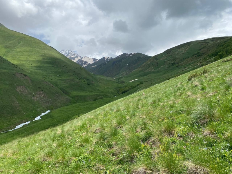
the first part of the way there were such naked landscapes
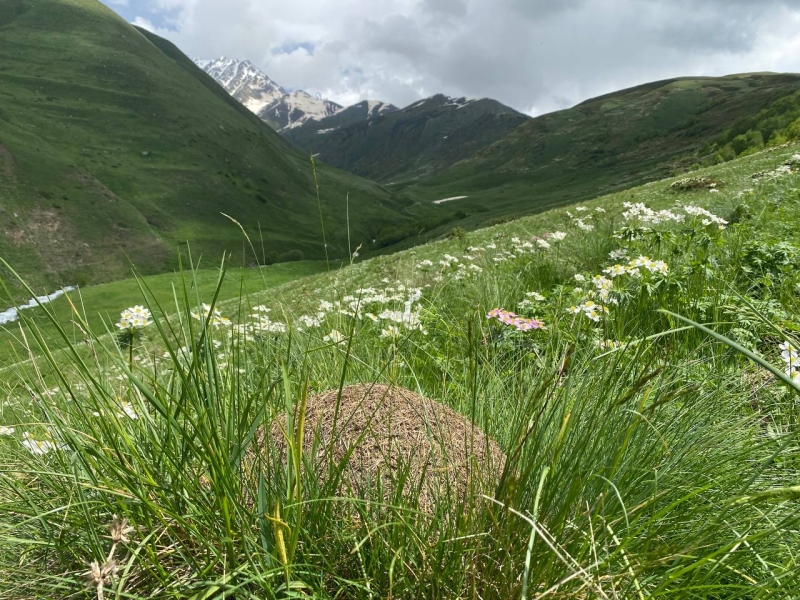
anthill
After about 1.5 hours of walking, we finally reached the clearings with rhododendrons. Such a sight is remembered for a long time – to say that I have never seen so many rhododendrons in one place would be untrue, because I have never seen them in nature before.
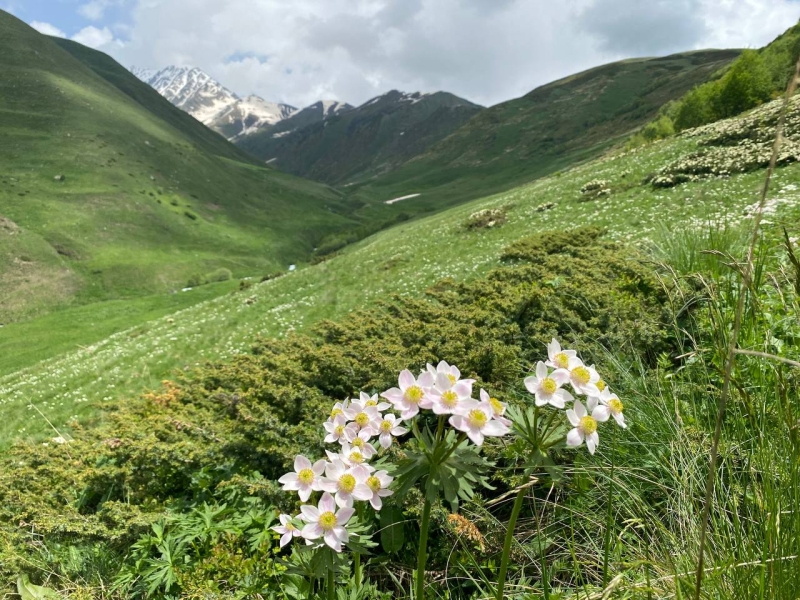
all slopes are strewn with different colors
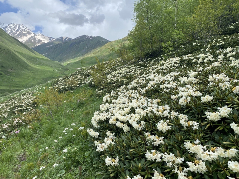
rhododendrons
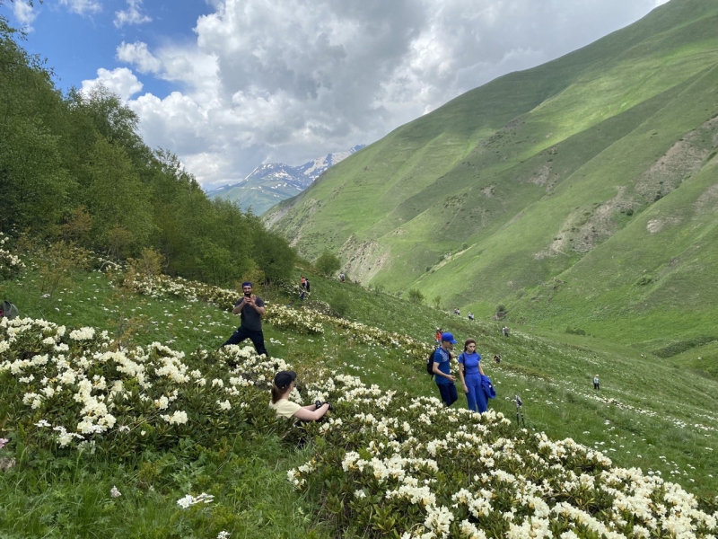
photo shoot with rhododendrons
After taking pictures and relaxing, we continued our route further. Our path lay higher and higher – towards the ridge.
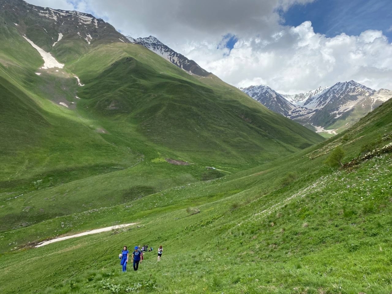
going to the ridge
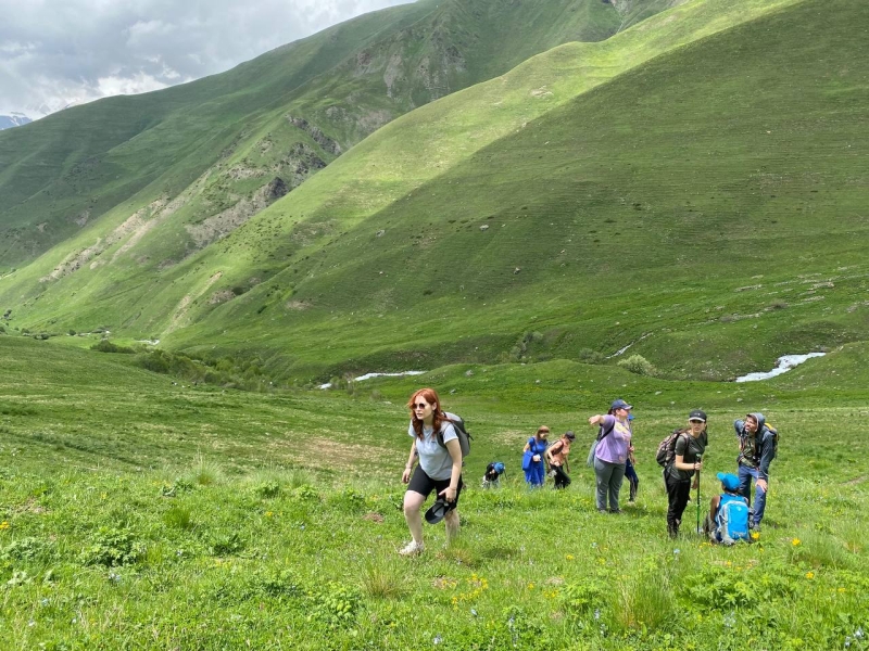
periodically resting on the slope
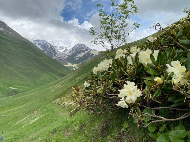
there are a lot of rhododendrons around
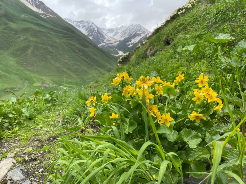
yellow flowers
After about 1 hour, by 13:20, we were finally at the highest point of our route. From here, there was a great view on both sides. On the one hand (on the right), there were high bald mountain slopes, on the other – green, forested mountains and gorges.And in the distance – the snow-capped peaks of four thousand meters.
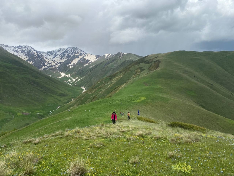
the top point of our route
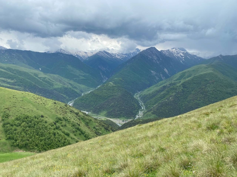
view from the top to the other more wooded side
If it was quite hot downstairs, then, having risen here, it became cool from a pleasant breeze and intermittent drizzling rain. For me, this is just the perfect weather for a hike.
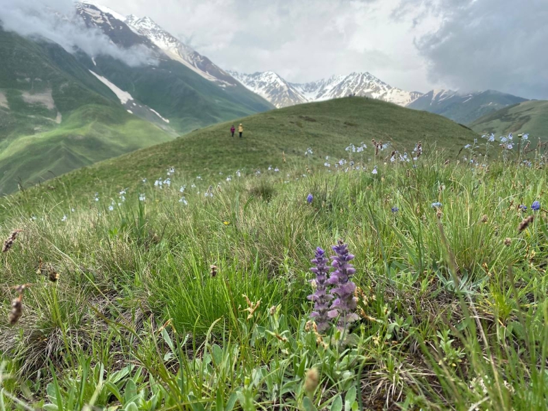
what kind of flowers you won’t find here
Here, at the very top, we had a big lunch break, the three of us spent it, a little apart from the main group, because they were located in the highest point where it was windy, and we moved a little further down, where there was a more comfortable atmosphere. We settled down in a place overlooking the Zaramag reservoir and had a great conversation.
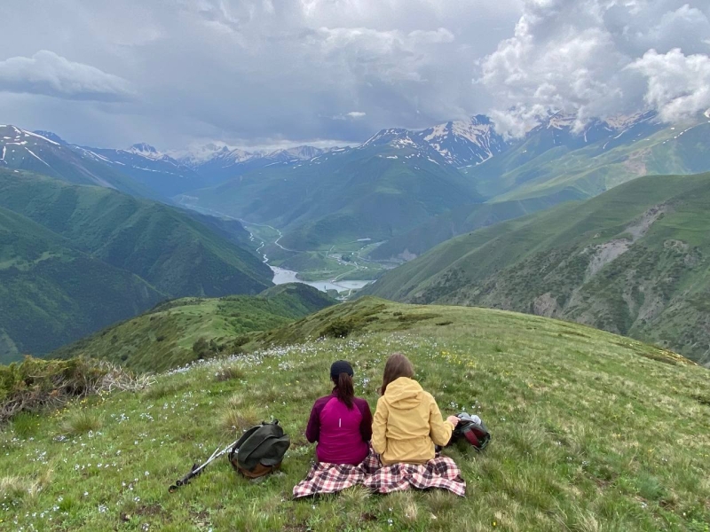
having lunch at the top
I haven’t met so many nice new people in one place (I’m talking about my trips to Vladikavkaz in general) in my life for a long time.
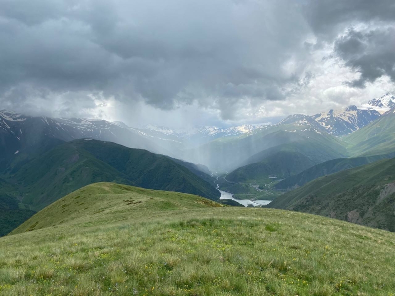
rain over the Zaramag reservoir
Well rested (by the way, this time I was not tired at all, unlike the previous hike to Kai-hoh), we went further along the top of the ridge. It was raining over the reservoir, but it never reached us.
The lower we descended, the more bushes and trees began to appear. On this trip, it was possible to conduct a biology lesson – my schoolteacher Galina Mikhailovna would envy the diversity of vegetation living at different heights.
Here you can also find such dwarf pines, juniper, very beautiful birches, hornbeam and oak. To this it is necessary to add dozens of different flowers and herbs, including thyme.
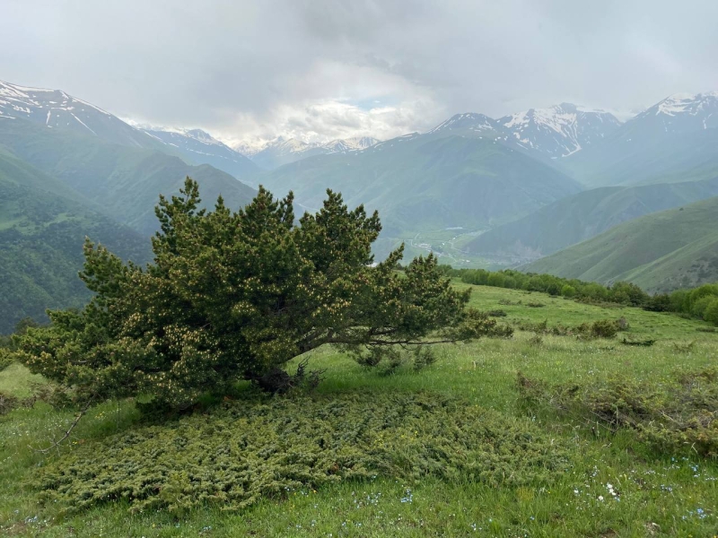
pine and juniper
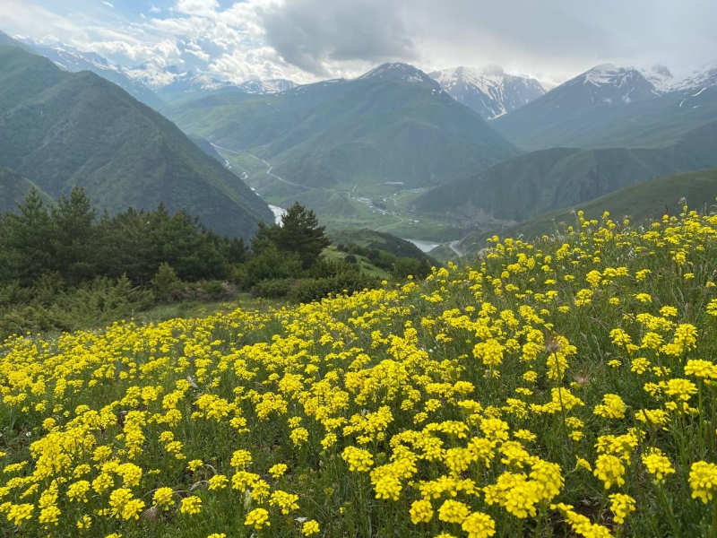
periodically there are flower glades
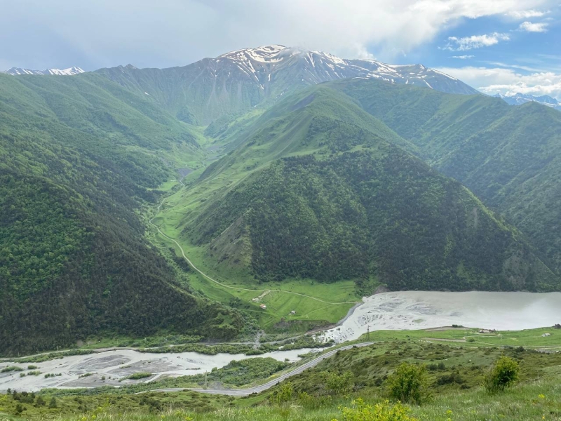
view of the river and the Zaramagsky water storage facility
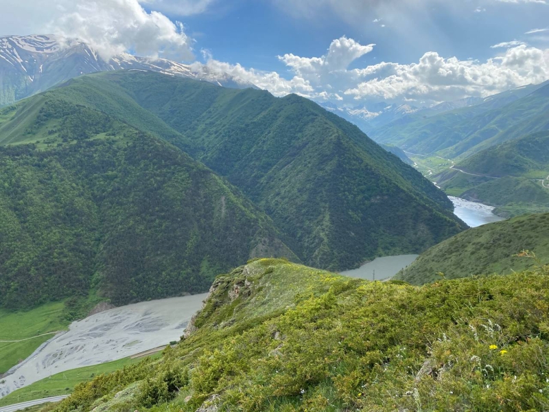
view of the Zaramagsky wood storage facility
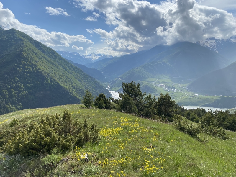
view of Zaramagskoye and the village of Nizhny Zaramag
Our route lay to the Zaramag reservoir, from where it began. Since this is the main landmark in this hike, and it can be seen from any high point, it is simply impossible to get lost here.
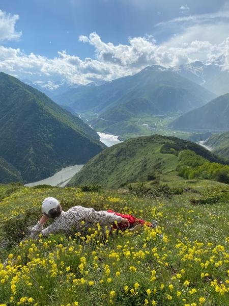
periodically took pictures among the flowers
On both sides of the ridge along which we were walking there are gorges with rivers (on the left is the large Ardon River, on which the reservoir was created), the ridge itself is mostly not wooded and can be seen for kilometers ahead, and in front of the reservoir. In any case, you will always come out to him. This is one of the main arguments for visiting this place on your own.
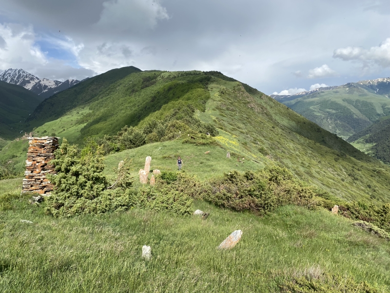
abandoned cemetery
Along the way, we came across an ancient abandoned cemetery, with dozens of abandoned tombstones. Since all this looked very organic here, I honestly did not immediately guess what it was until Kazbek explained.
By about 16:20, we were very close to the Zaramag reservoir and this meant the beginning of our descent to the point of departure.
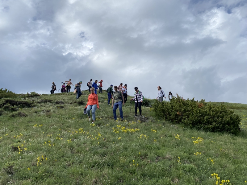
the beginning of our descent
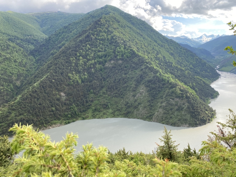
this beautiful pyramid mountain appeared at the end of the route
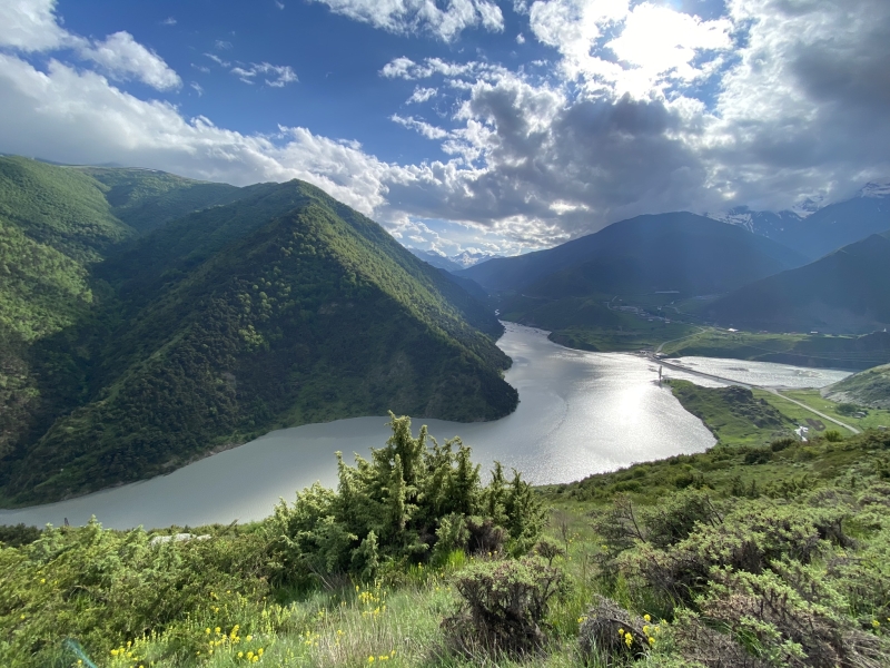
view of the reservoir and the mountain
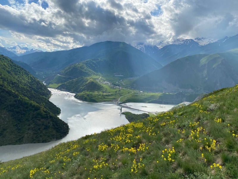
there is a lonely tree on the shore in the middle of the pond
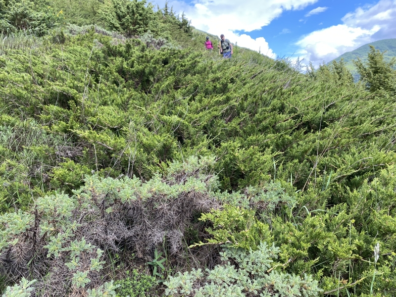
sometimes I had to wade through thorns
The descent was a bit difficult, in addition to this area under the slope, it was almost completely covered with small shrubs and thorns, through which we literally had to make our way.
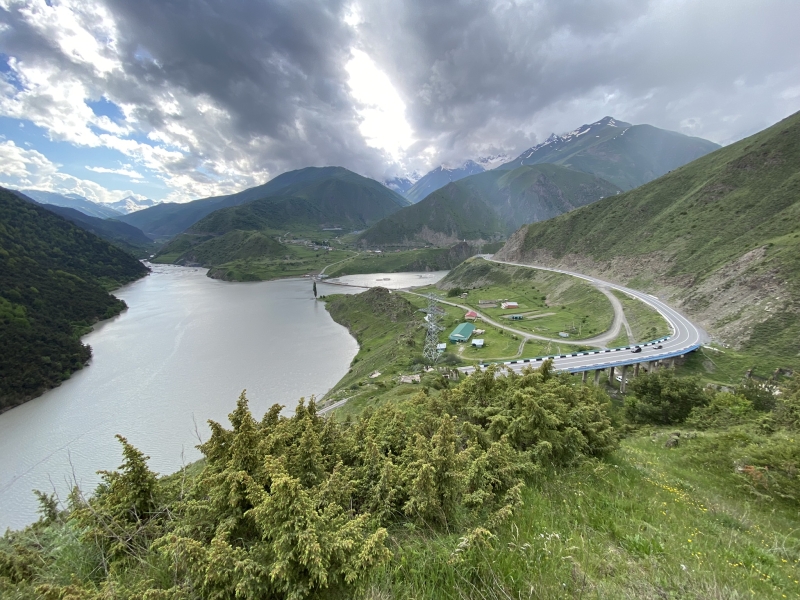
the bridge appeared and our gazelle under it
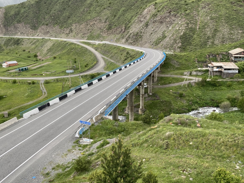
went down to the bridge
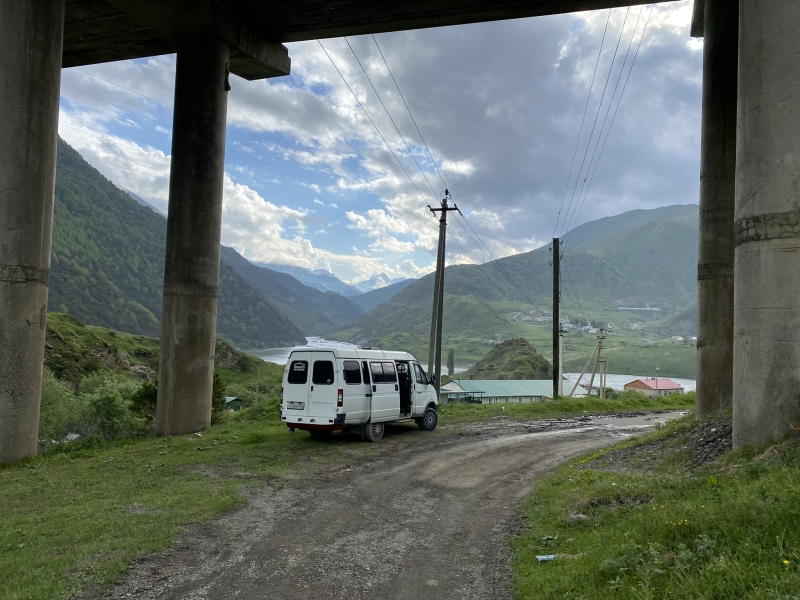
and Let’s go to our gazelle
After about 50 minutes, we went down to the bridge, under which our gazelles were standing. It was a bit of a pity that the journey had come to an end. I definitely recommend this scenic and not very difficult route! There are gorgeous views, lots of flowers and interesting plants. I am sure that it will be interesting at any time of the year!
Also interesting:
A trip to the Tsmiakom gorge for the flowering of rhododendrons
Climbing Mount Kai-khokh in North Ossetia
A trip to the Aktoprak pass, Chegem waterfalls and Lake Gizhgit
Chegem waterfalls — what to see, and is it worth going here at all?
